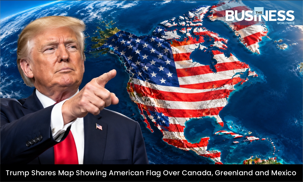
U.S. President Donald Trump has shared a map showing an American flag covering large parts of North America, including Canada, Mexico and Greenland, along with Iceland and several Caribbean islands. The post appeared on Truth Social on Monday and comes amid Trump’s repeated comments about expanding U.S. territorial influence beyond the country’s existing borders.
The image features the pattern of the American flag placed across the United States, Canada, Mexico and parts of Central America. It also extends across Greenland, Iceland and Caribbean nations and territories, including Cuba and Jamaica.
While Trump has previously spoken about acquiring Canada and Greenland, as well as gaining control of the Panama Canal, the inclusion of Mexico and Caribbean islands represents a broader depiction of territories associated with his recent expansion-related rhetoric.
Tensions with Canada
Trump’s post also comes at a time of heightened tensions between Washington and Ottawa. The two countries have imposed tariffs on each other’s goods, adding pressure to their long-standing economic relationship.
Against this backdrop, Trump recently signed an executive order seeking to rename Lake Ontario, which shares its name with the Canadian province of Ontario, as “Lake America.” The move added another layer to the ongoing political and diplomatic tensions between the two neighboring countries.
Trump’s comments and actions regarding Canada have repeatedly attracted attention, particularly his previous suggestions that the country could become part of the United States.
‘New America’ Post Sparks Attention as Show American Flag
The latest map follows another unusual post by Trump on Sunday involving New Mexico. The president shared an image of the state with its name altered to “New America,” following an online hoax falsely claiming that he had signed an executive order changing the state’s name.
The image showed a large “X” placed over the word “Mexico,” with “America” displayed underneath. The White House’s official account also shared the image on X.
The posts have drawn attention as Trump continues to use maps, images and social media posts to communicate his views on U.S. territory and national identity. Although some of the imagery appears to be symbolic or provocative, it has renewed discussion around his earlier proposals involving Canada, Greenland and other territories.
Also Read :- MapQuest’s ‘Lake America’ Stance Sparks Massive App Store Surge